From diagnosis to action
A cause without an action
stays a picture
For every diagnosis the next move is ready. We don't replace scouts and drones, we tell you where they actually pay off.
- 01
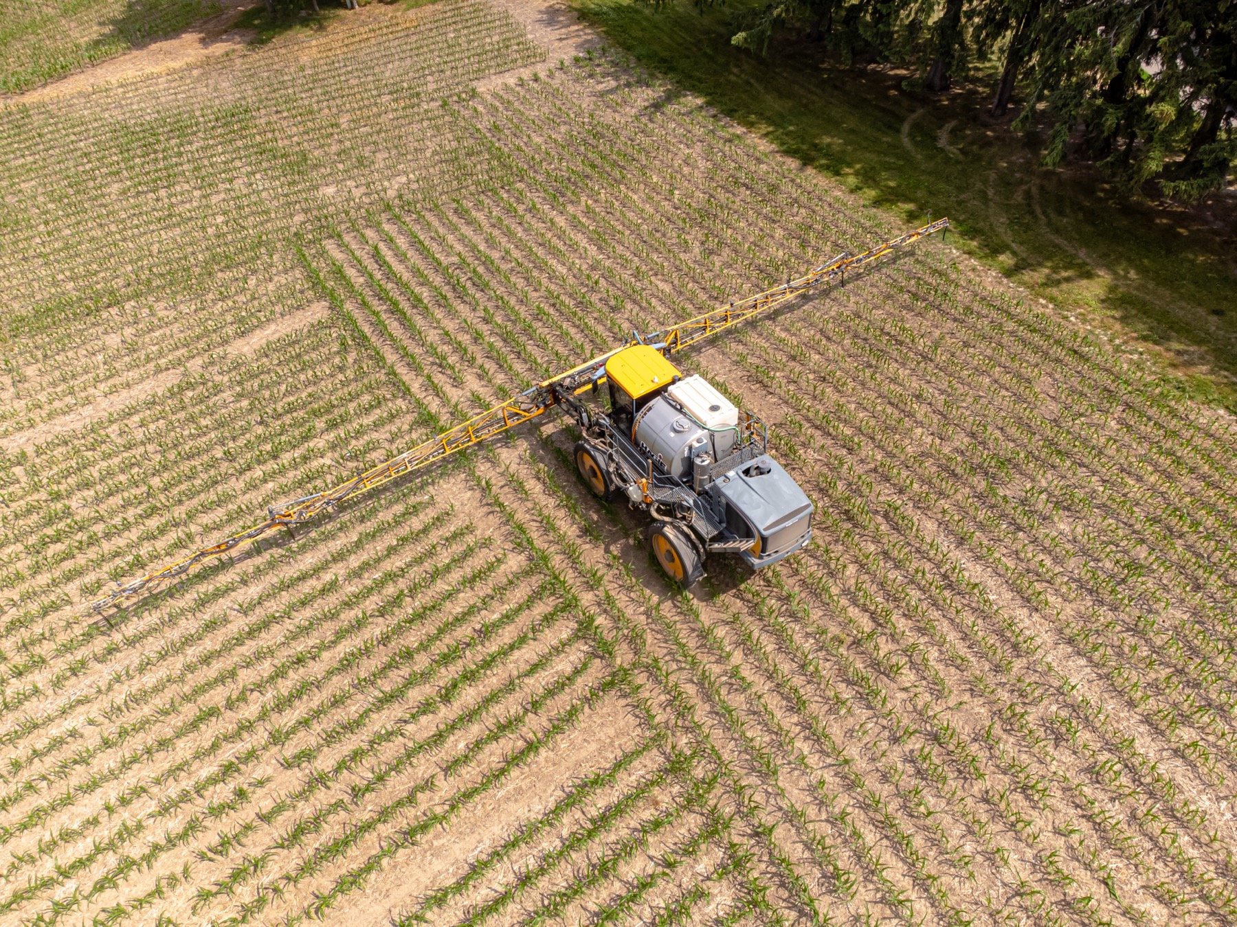
Task map (VRA)
Nitrogen where it will work.
Zones with a cause and a rate, not NDVI contrast. Export SHP · ISOXML · GeoJSON, a PDF map passport, agronomist sign-off.
- 02
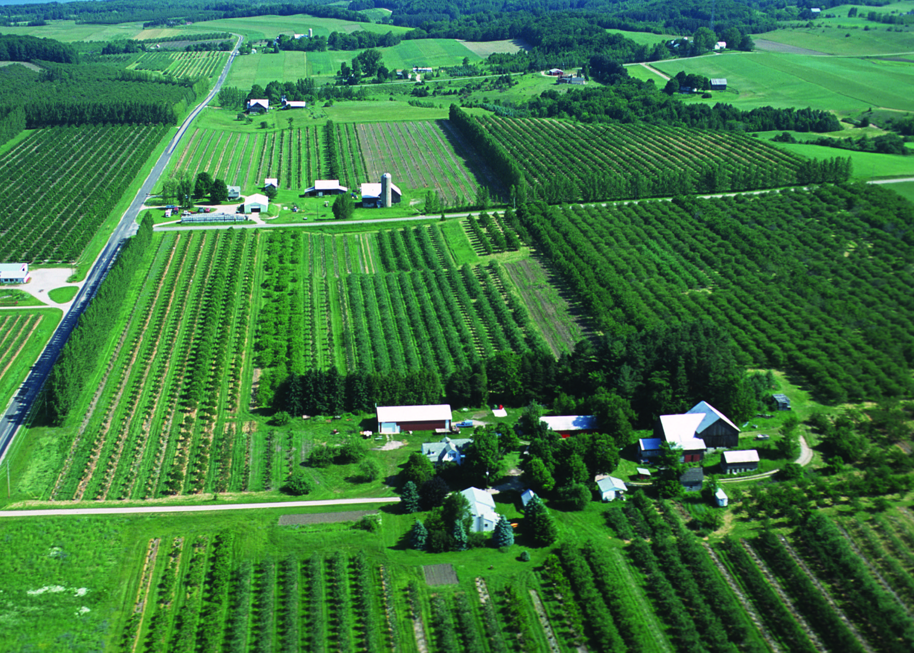
Area audit
Hectares with no vegetation: a road, a slope, a seeder miss.
A corrected boundary, exclusion from application, the input saving shown. In the pilot this removed 16 of 89 ha.
- 03
Scouting route
There's an anomaly, but the cause isn't clear.
3-10 points with a task each, offline view, status “confirmed, rejected, unclear”, export GPX · KML · CSV, send to Telegram.
- 04
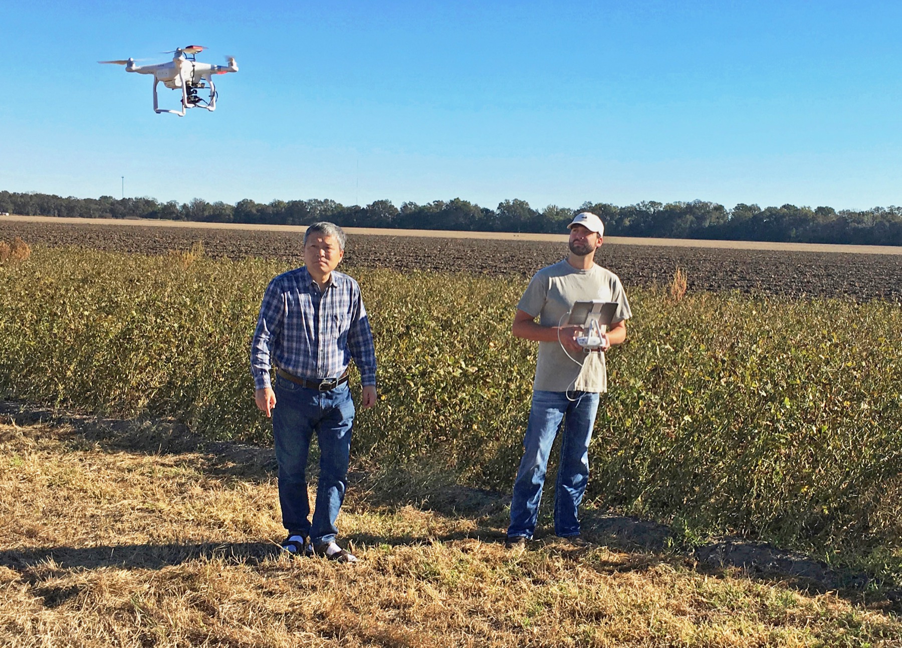
Drone verification
The spectrum is confident but needs a visual check. Or a cloud gap in the optical.
A flight polygon, priority points, a recommended sensor, an ortho request, NDVI, NDRE and loading the result back.
- 05
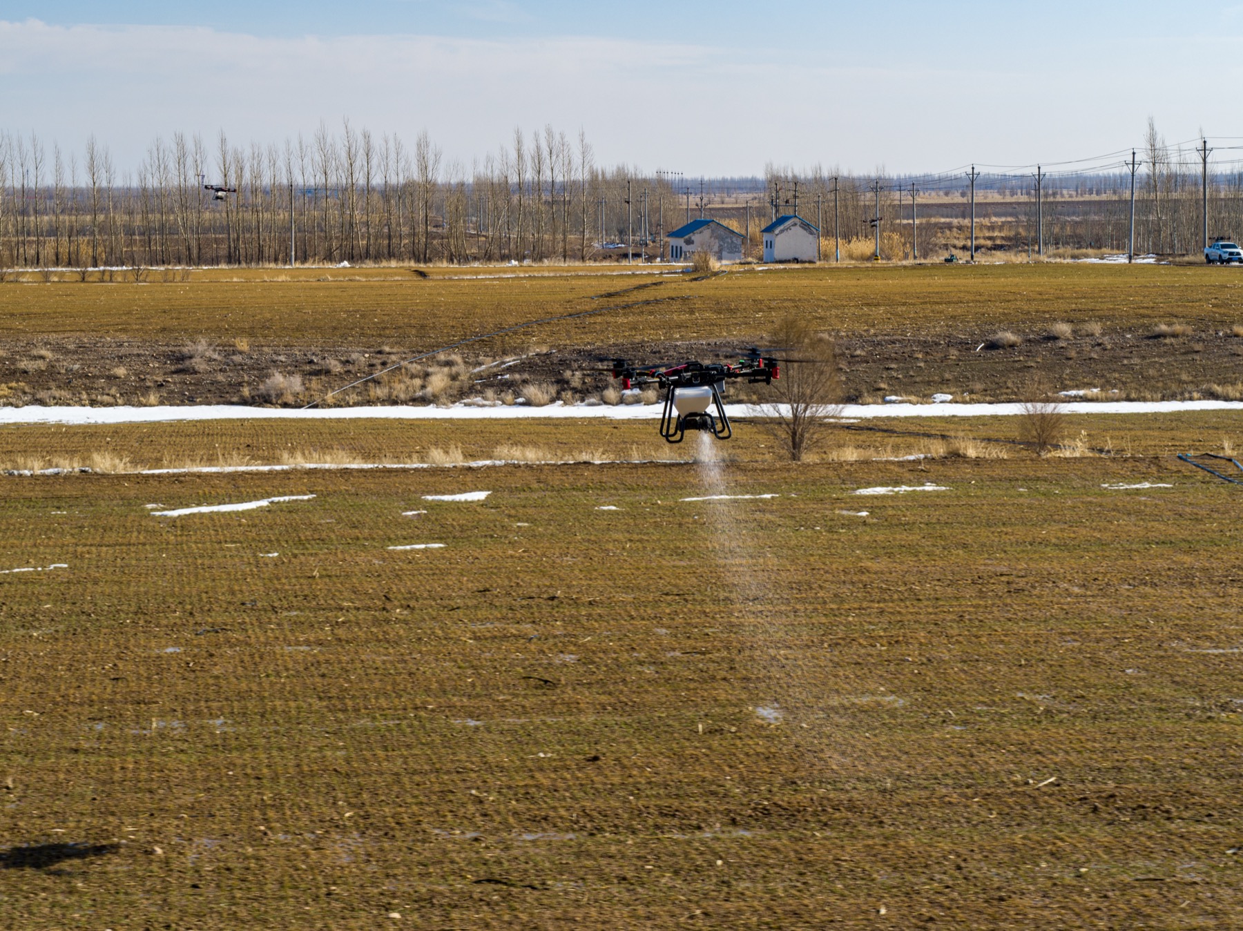
Drone treatment
Foliar feeding, crop protection, biologicals, a small or wet zone.
Treatment type, an estimate of hectares and product volume, a mission file, evidence upload, zone status changed to “done”.
- 06
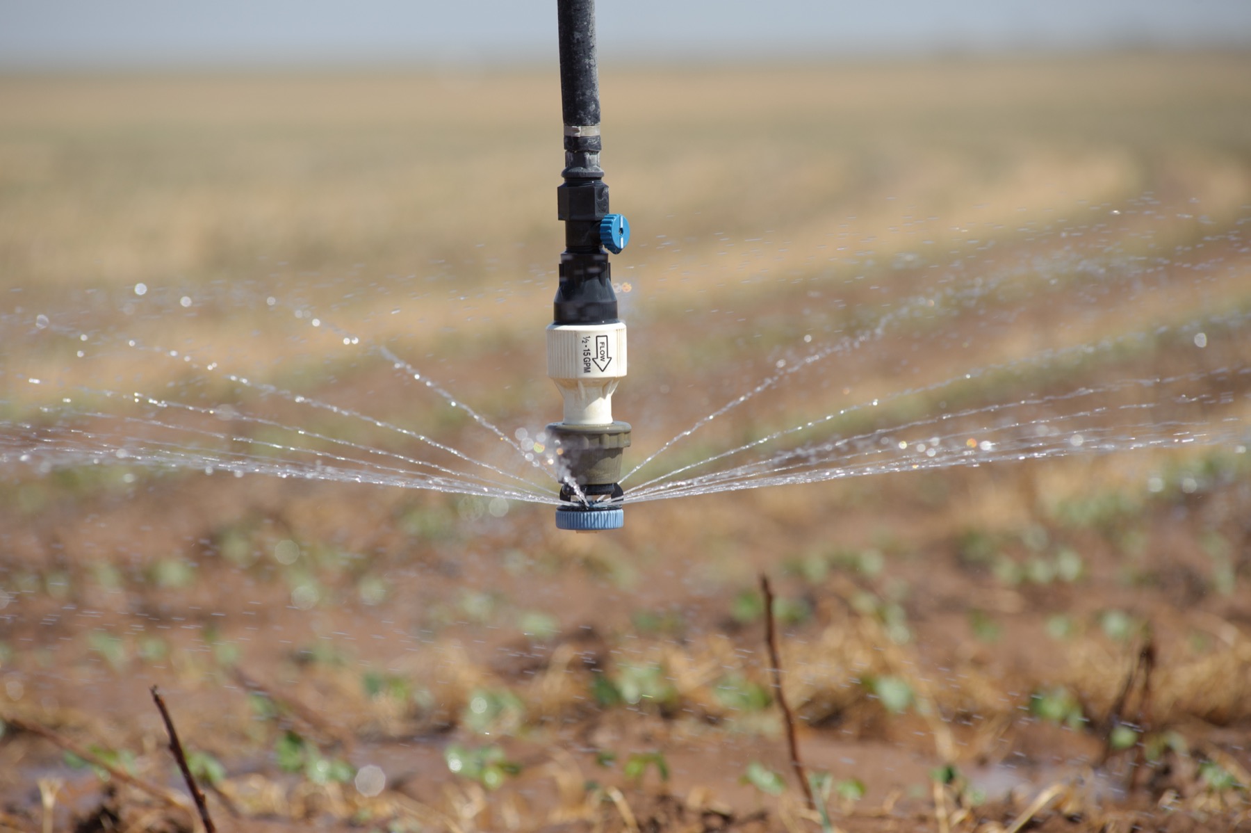
Irrigation task
A water limit on a zone.
Priority and hectares, a task to the irrigation manager by section or pivot, a log of “watered, no, impossible”. Sometimes the value is in not spending fertilizer where water is the limit.
- 07
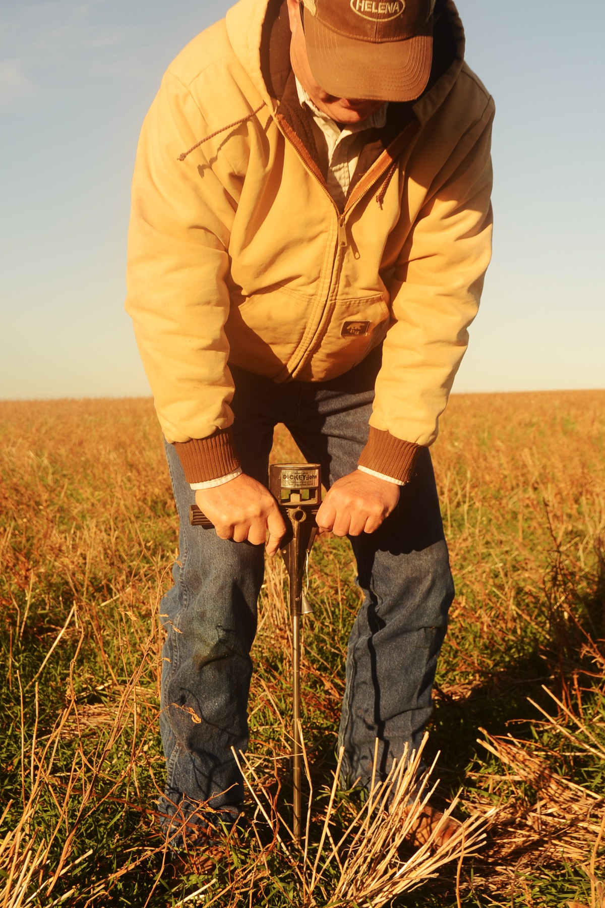
Sampling
The diagnosis needs on-site confirmation.
Sampling points, tags, a route, a form, a lab order and loading the result back to the field.
- 08
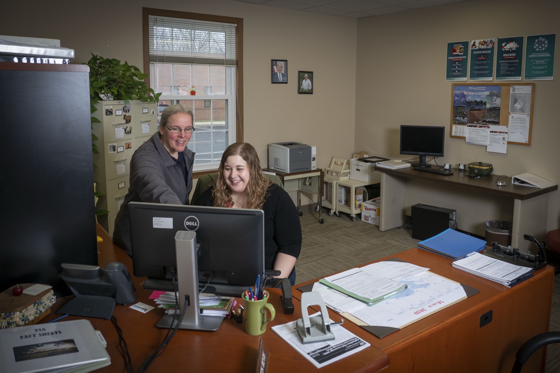
Report to management
The director or owner signs off the decision.
What was found, why, what was done, which hectares changed, how it's confirmed, the expected effect, confidence and limits. A ready PDF.
Honest about the drone
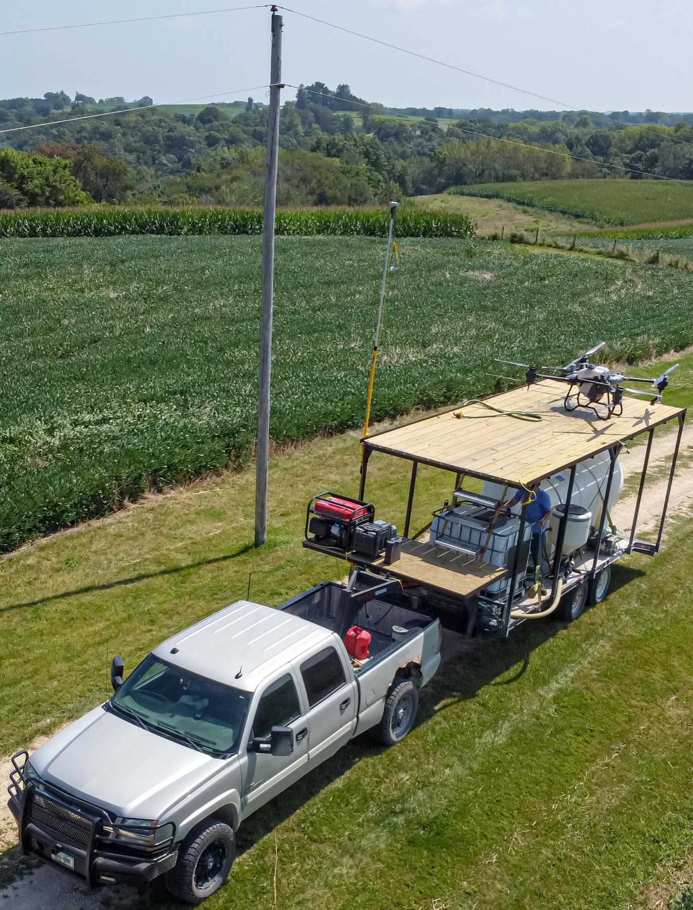
A drone is good for foliar feeding, crop protection, biologicals, desiccation and small zones a tractor can't reach. For bulk nitrogen application the right tool is a task map for a spreader, not a drone. We don't promise “press a button and the drone fertilizes the whole field”.
How the money works
Coordination included, execution by the job
Building the route and the task map is part of the subscription. A partner's visit, drone treatment and the lab are paid by the job. The diagnostic subscription is predictable, actions are pay-as-you-use.
Frequently asked
Do you go out to the field yourselves?
We take on the coordination; execution is your team or vetted partners: scout, drone, lab. Building the route and the task map is part of the subscription, the visit is paid by the job.
Will the drone fertilize the whole field?
No. A drone is good for foliar feeding, crop protection, biologicals and small zones. For bulk nitrogen the right tool is a task map for a spreader, not a drone.
What formats is the task map in?
SHP, ISOXML, GeoJSON and a PDF map passport. The agronomist signs off the per-zone rate before it's loaded into the machinery.
Does an action launch automatically?
No. AI proposes, the agronomist approves, and only then does the task go into work. We make no irreversible field actions without confirmation.